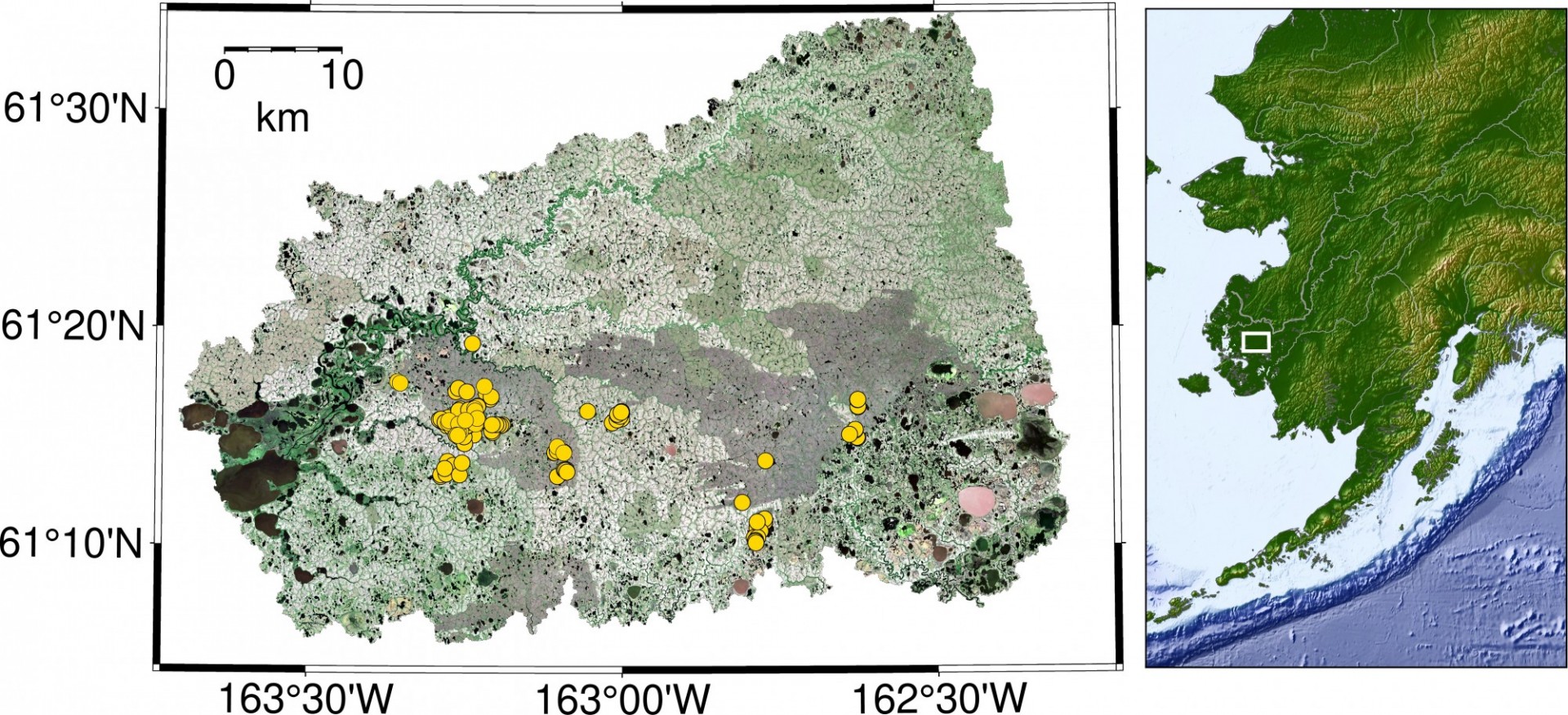
Funded by an award from the NASA FINESST graduate fellowship program, Ludda Ludwig is leading our group's research of the carbon fluxes at terrestrial-aquatic interfaces in the Arctic.
The Arctic has historically been a carbon (C) sink, resulting in vast quantities of C stored in soil and permafrost. Approximately twice as much C is stored in permafrost as is in the entire atmosphere. As permafrost thaws, this C can be decomposed by soil microorganisms and respired as carbon dioxide (CO2) or methane (CH4), and dissolved and transported through inland waters. The Arctic is now warming at an accelerated rate, and recent research has shown increasing emissions of CH4 and CO2 (C fluxes), inducing the Arctic to switch from a sink to a source of C to the atmosphere. Modeling C fluxes in the Arctic and predicting them into a warmer future has been one of the greatest challenges to understanding the Arctic carbon cycle.
The overarching objective of this project is to produce high-resolution maps of wetlands, surface water, and vegetation to interpret airborne C fluxes in the YK Delta. We will quantify and scale functional relationships of wetland and inland aquatic C that incorporate biogeochemical mechanisms, hydrologic connectivity in contributing watersheds, and water- body shape and size. We will incorporate airborne data and identify the relevant scale needed to accurately quantify C fluxes from tundra, wetlands, and terrestrial-aquatic interfaces and resolve the discrepancy between top-down and bottom-up C budgets for the YK Delta.

Project Publications:
-
Ludwig, S. M., L. D. Schiferl, J. Hung, S. M. Natali, R. Commane. In review. Resolving heterogeneous fluxes from tundra halves the growing season carbon budget. Biogeosciences. https://bg.copernicus.org/preprints/bg-2023-119/
-
Ludwig, S. M., S. M. Natali, J. D. Schade, M. Powell, G. Fiske, L. D. Schiferl, R. Commane. 2023. Scaling waterbody carbon dioxide and methane fluxes in the arctic using an integrated terrestrial-aquatic approach. Environmental Research Letters. 10.1088/1748-9326/acd467
-
Ludwig, S. M., S. M. Natali, P. J. Mann, J. D. Schade, R. M. Holmes, M. Powell, G. Fiske, R. Commane. 2022. Using machine learning to predict inland aquatic CO2 and CH4 concentrations and the effects of wildfires in the Yukon-Kuskokwim Delta, Alaska. Global Biogeochemical Cycles. 10.1029/2021GB007146.
-
Ludwig, S., S. Natali, P.J. Mann, J. Schade, M. Powell, G. Fiske, L. Schiferl, and R. Commane. 2023. CO2 and CH4 Fluxes from Waterbodies, and Landcover Map, YK Delta, Alaska, 2016-2019. ORNL DAAC, Oak Ridge, Tennessee, USA. https://doi.org/10.3334/ORNLDAAC/2178.
Our Projects have been supported by funding from: NASA Terrestrial Ecology Program
Return to Arctic Carbon